มิสติกแนวโมร็อกโก
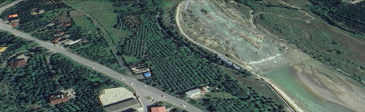

An incredibly lifelike, richly detailed, photorealistic aerial photo of a Moroccan village with an outdoor garden. The scene is illuminated by natural daylight, creating a vibrant and serene atmosphere. Captured with a drone camera, emphasizing lush green vegetation, traditional architecture, and the earthy tones of the landscape. The image is transformed into a multi-layered architectural site analysis diagram, showcasing distinct vertical layers: Water Body Analysis, Vegetation Analysis, Transportation Analysis, and Topography/Sun & Wind Analysis. Each layer floats above the next with soft shadows, clean edges, and subtle 3D extrusion, maintaining the original content with enhanced clarity and professional linework. Minimal, clean annotations, arrows, and typographic labels in a modern architectural style guide the viewer through the analysis against a neutral grey background, presenting a high-end academic and visually clear site analysis.